
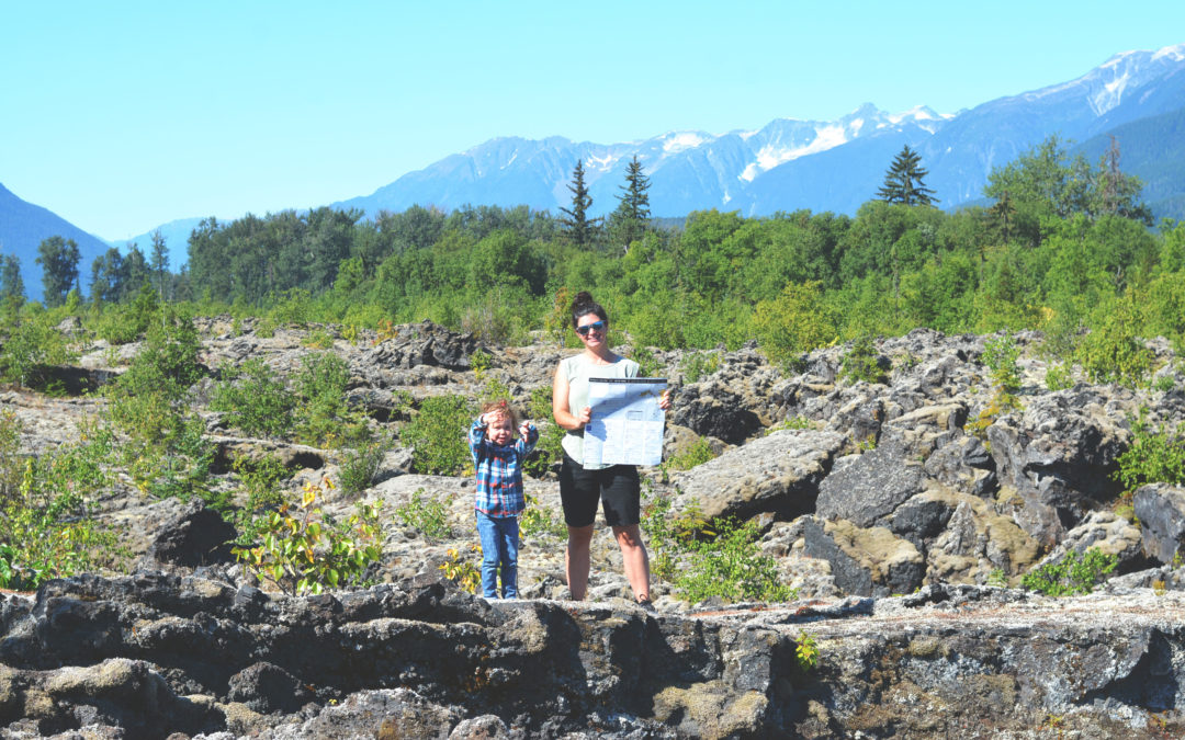
If you’re already planning a trip, make sure to read through for a few tips to make the most out of your visit, especially if you’re traveling with kids!
Tips for Enjoying Nisga’a Lava Bed Memorial Park
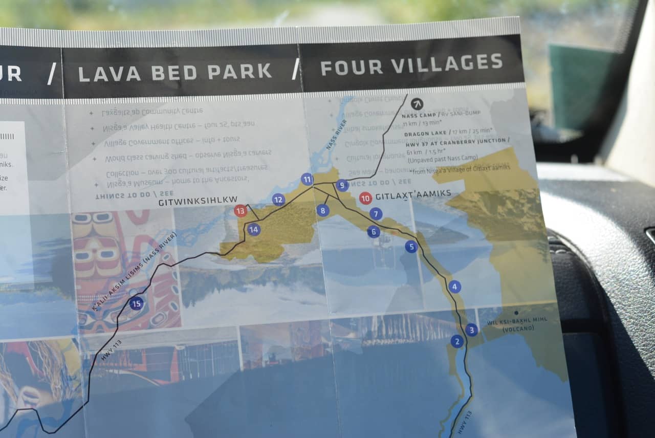
- Pick up an Auto Tour Nisga’a Nation Map (see photo below) at any local info centre. We got ours in Smithers, but also stopped in Terrace at the Info Centre and they gave us more information about where to go.
- There is NO cell service, so be prepared. This is normally not an issue for us, but my husband was waiting for a call from work, so we did hurray back the second day to be able to check messages. Also make sure to let someone know where you are going, when you’ll be back and take a first aid kit.
- Have a full tank of fuel in your vehicle before leaving Terrace. I don’t recall seeing any fuel stations. Maybe in one of the small communities, but I wouldn’t plan on it.
- Wear good shoes. The rocks are rough and loose. I did have sandals, but I wouldn’t recommend that.
- Bring lots of water. They did have water at the campground we stayed at, but it was not drinking water. It was super hot and dry when we were there and we all seemed to drink a lot of water, so make sure you have lots!
- Pack all the food you need. Ammenitites are very litmited.
- I recommend spending at night up there. There was a lot to see in just one day.
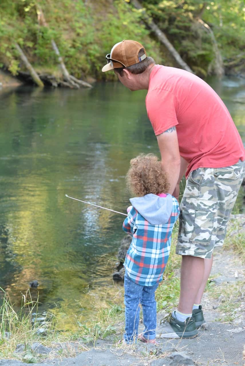
- If you plan to fish, make sure to have a detailed map with regulations and check online for the salmon regulations before you go. There is no service to check the salmon regulations when you are there. We took screen shots of the regs, but didn’t have a very detailed map with us so it was challenging to piece it all together.
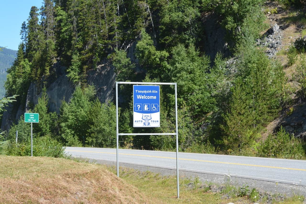
To get to the lava beds you take Highway 113 from Terrace (if coming from Smithers, go through Terrace as you’re going to Prince Rupert. You’ll turn off to the right just past Canadian Tire). The first stop is 70km from Terrace.
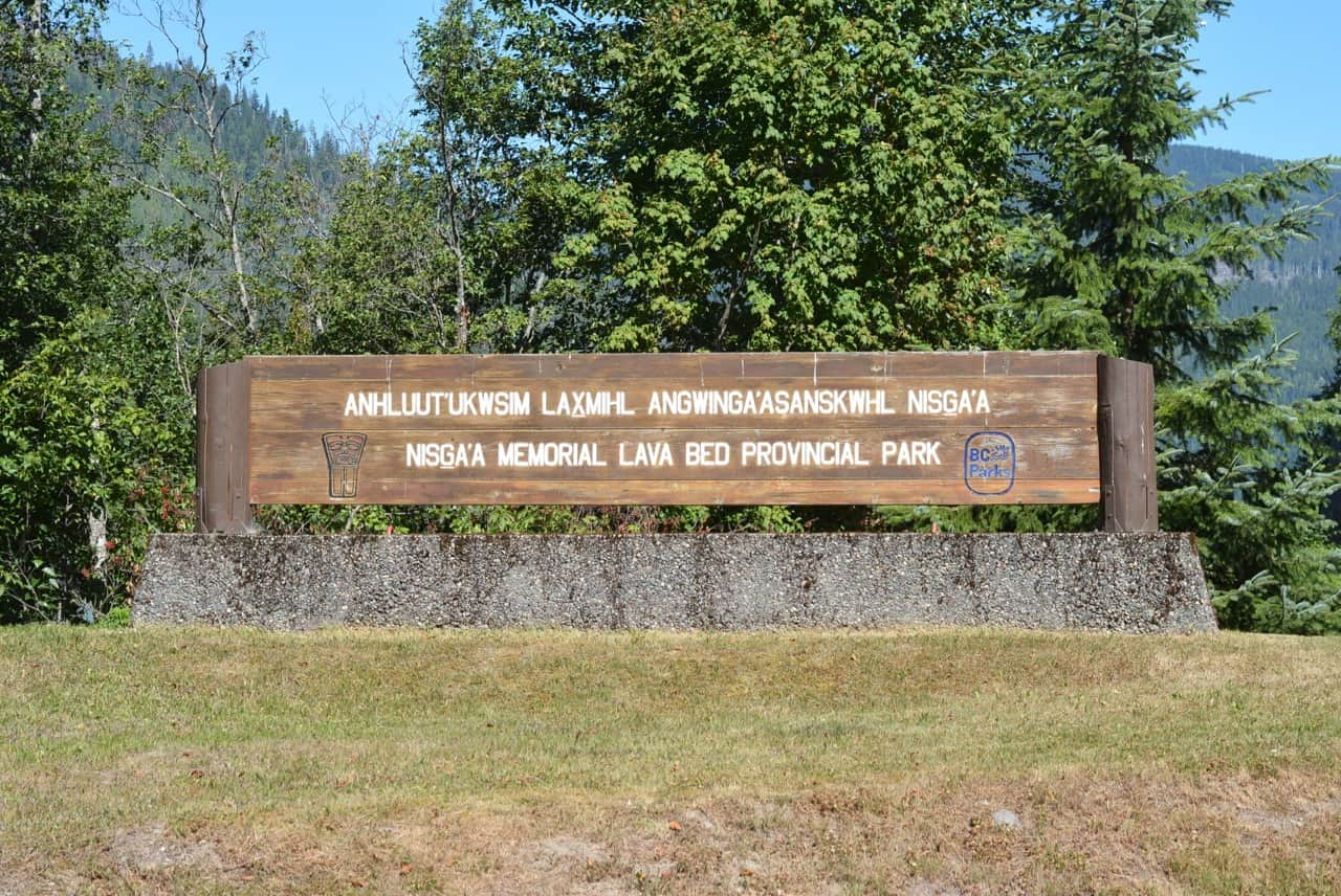
1. Welcome
The first stop is 70km from Terrace and is a pull out at the start of Lava Lake. We walked down to the lake on an unmaintained trail, but it was very short. The lake and views were just gorgeous!
As you can see, the signs along the highway are very easy to see!
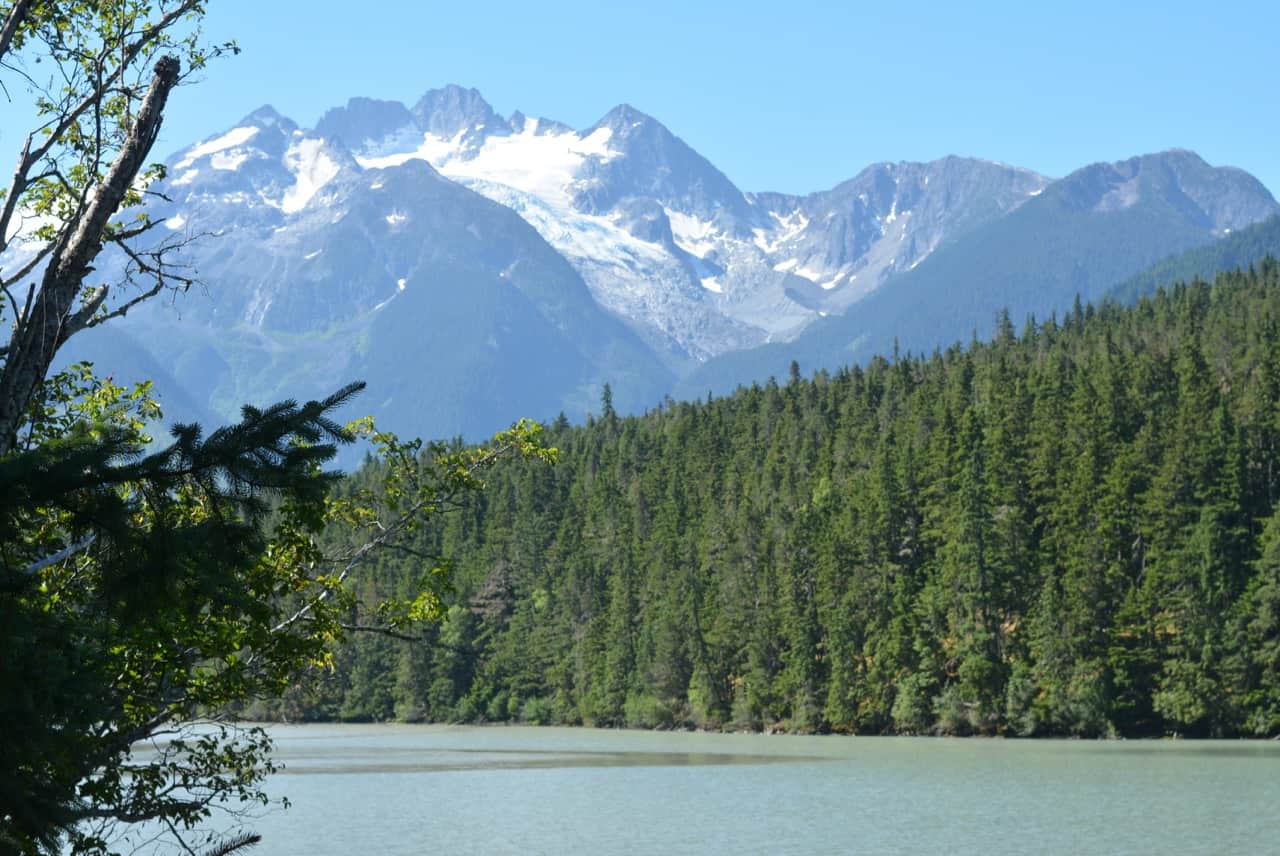
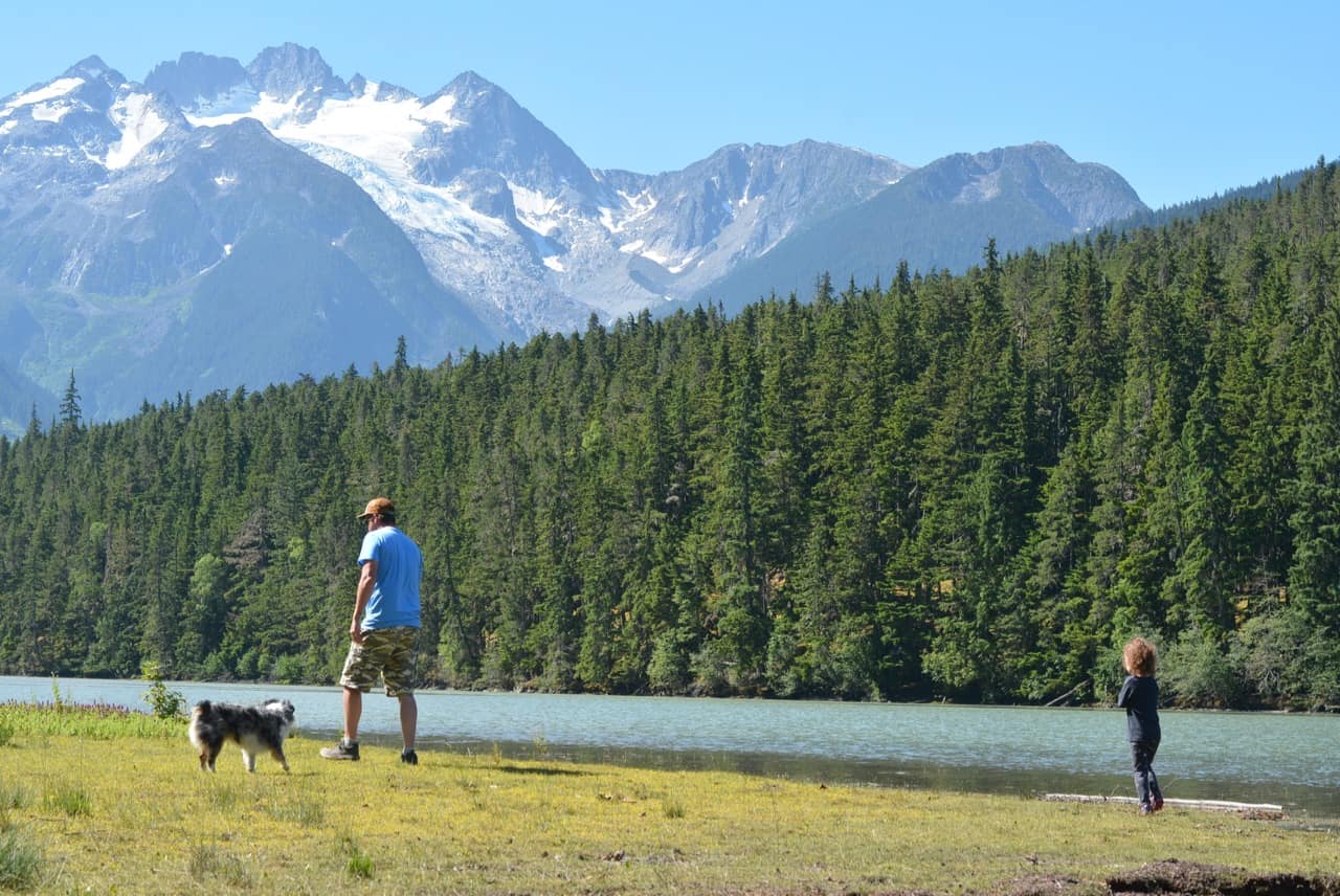
2. Lava Lake
This looked like a beautiful spot to have a picnic, but it was under construction. There is a boat launch, tables and outhouses, but we were unable to park there so we snapped a quick photo and headed on our way.
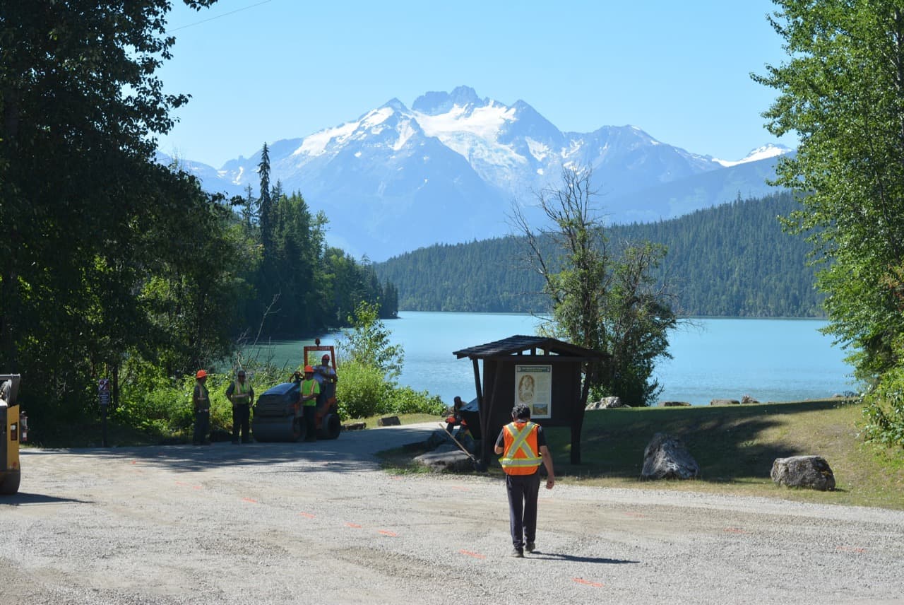
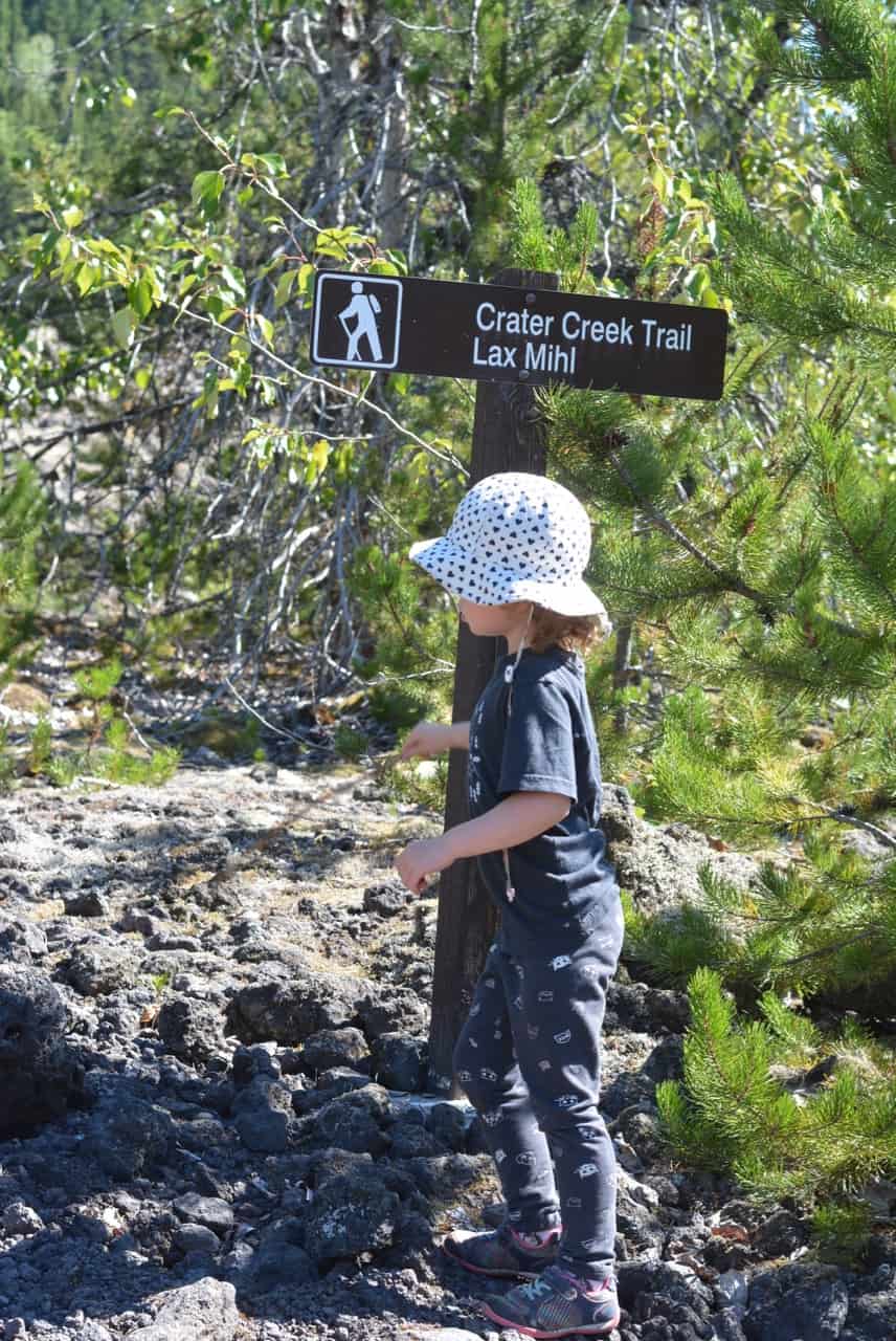
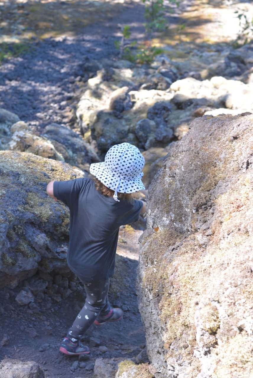
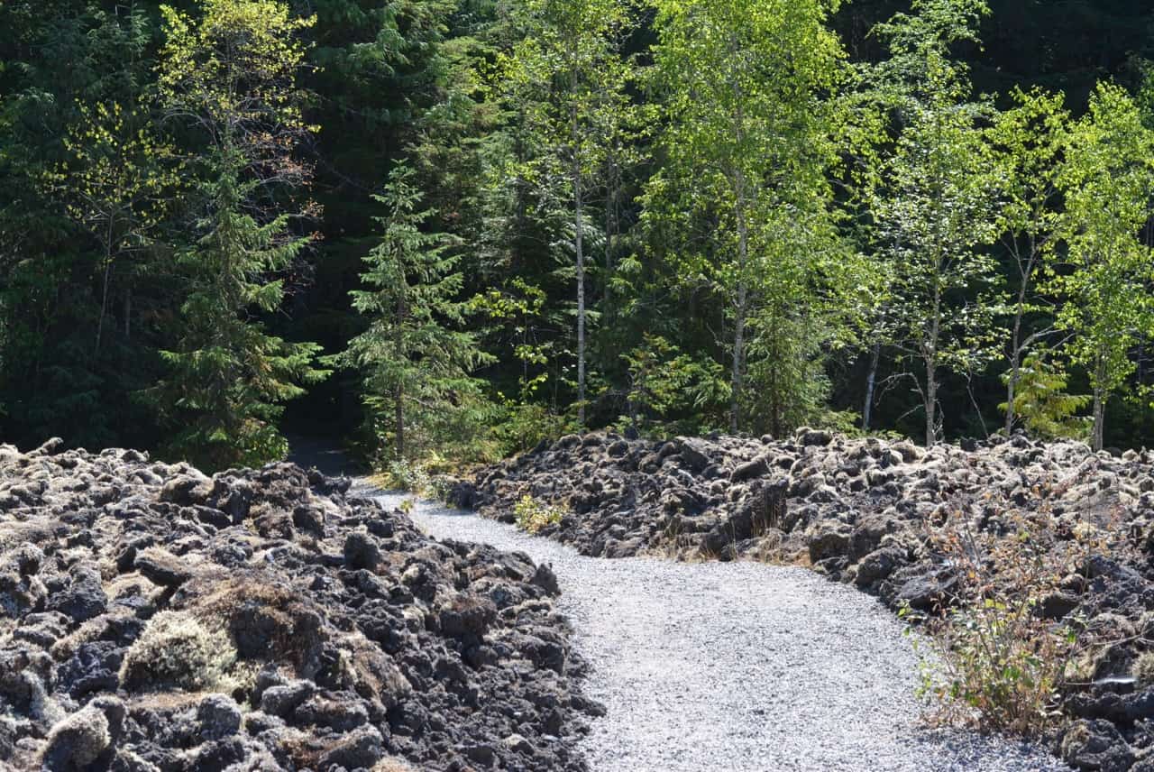
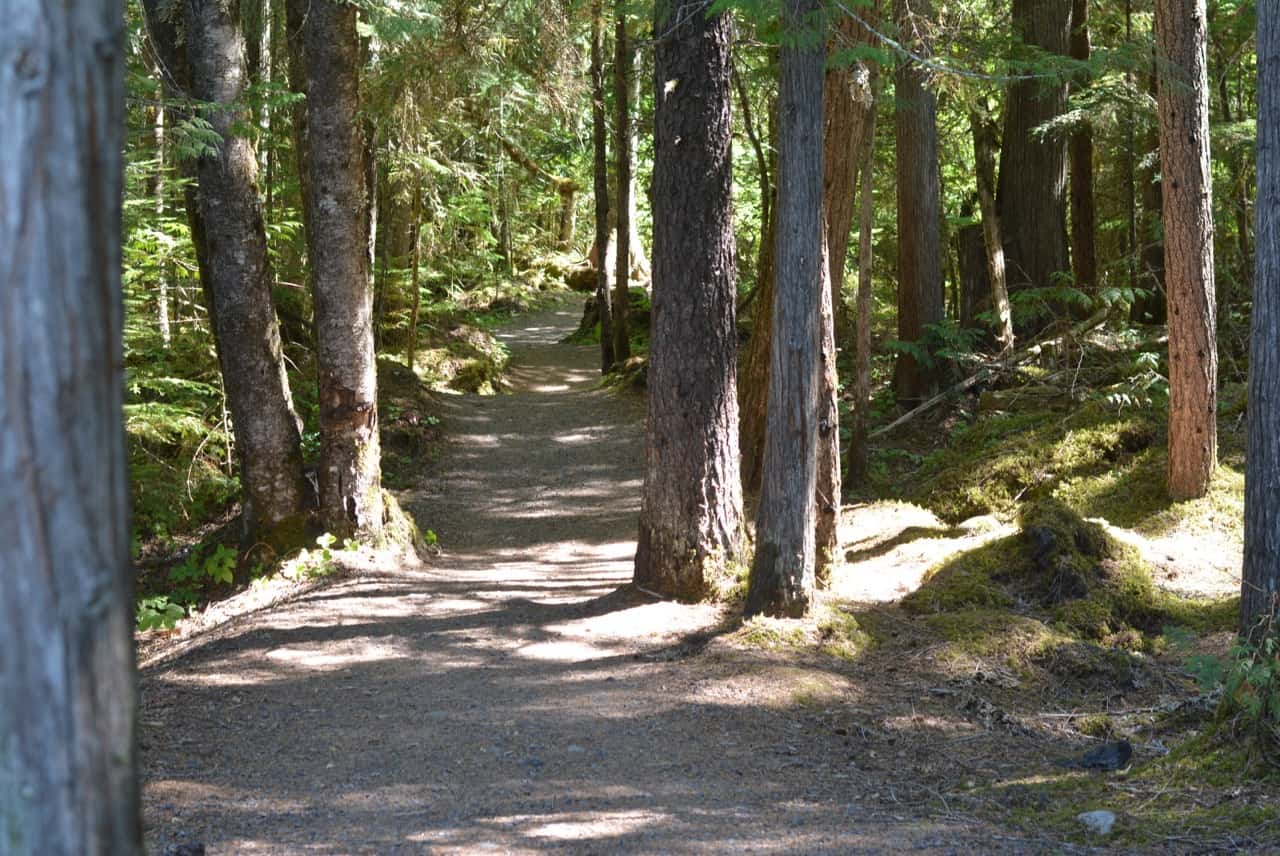
3. Crater Creek
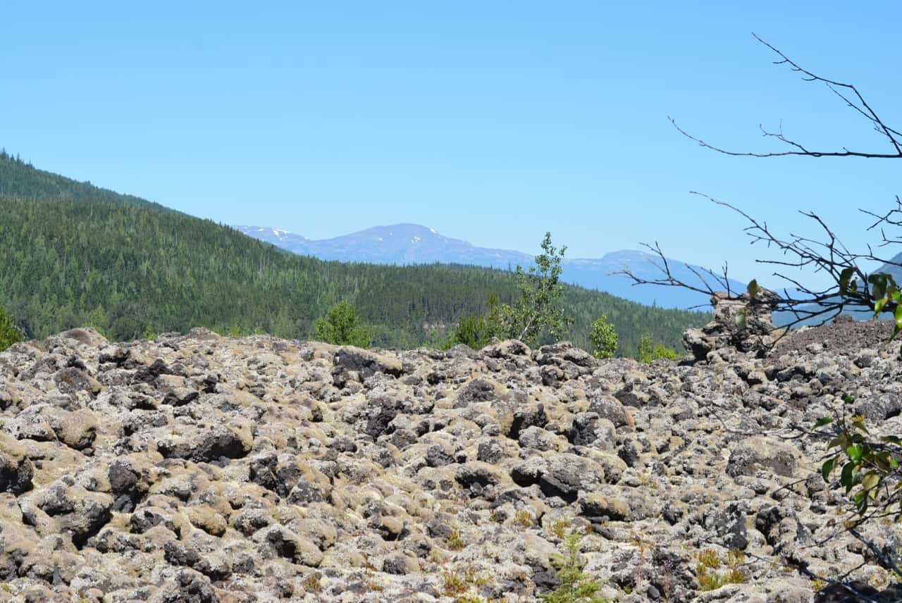
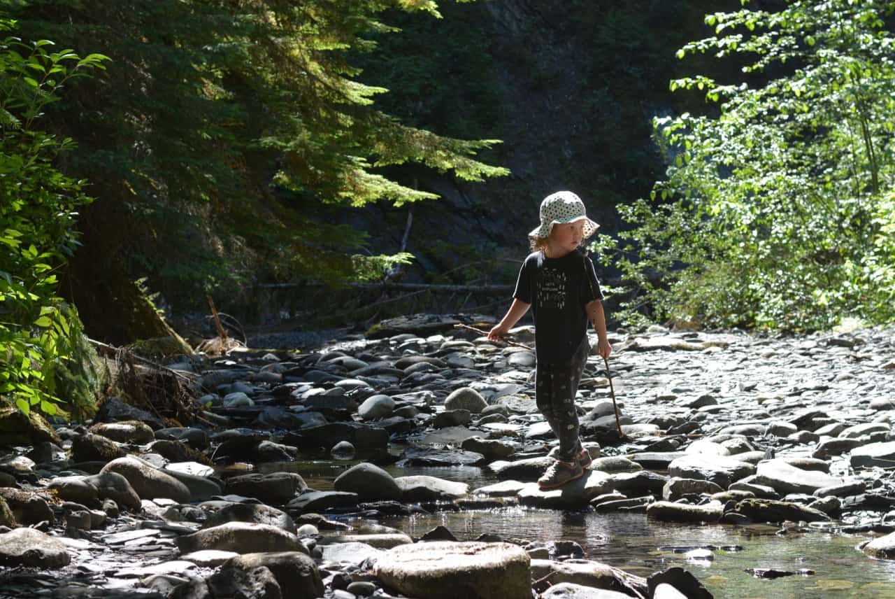
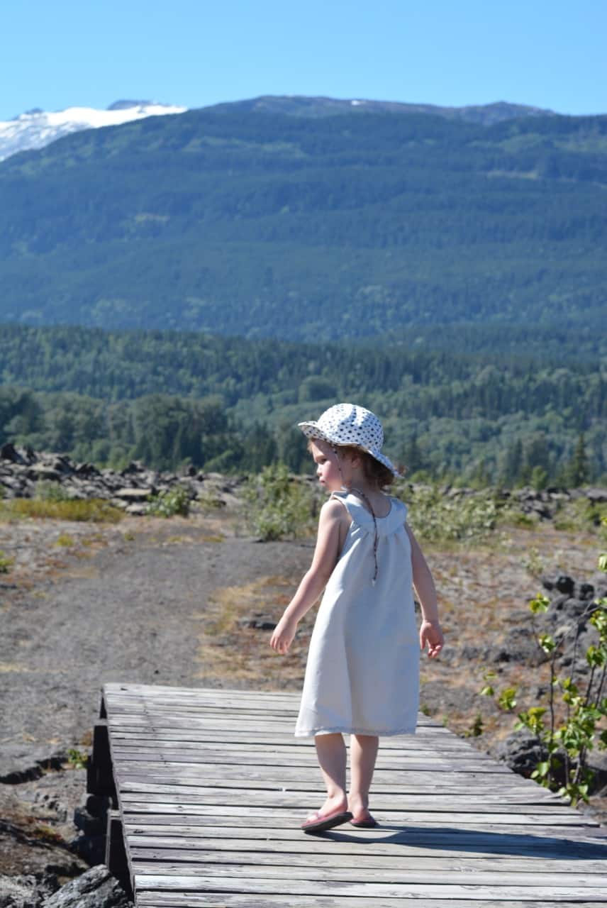
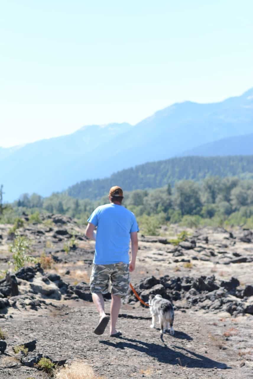
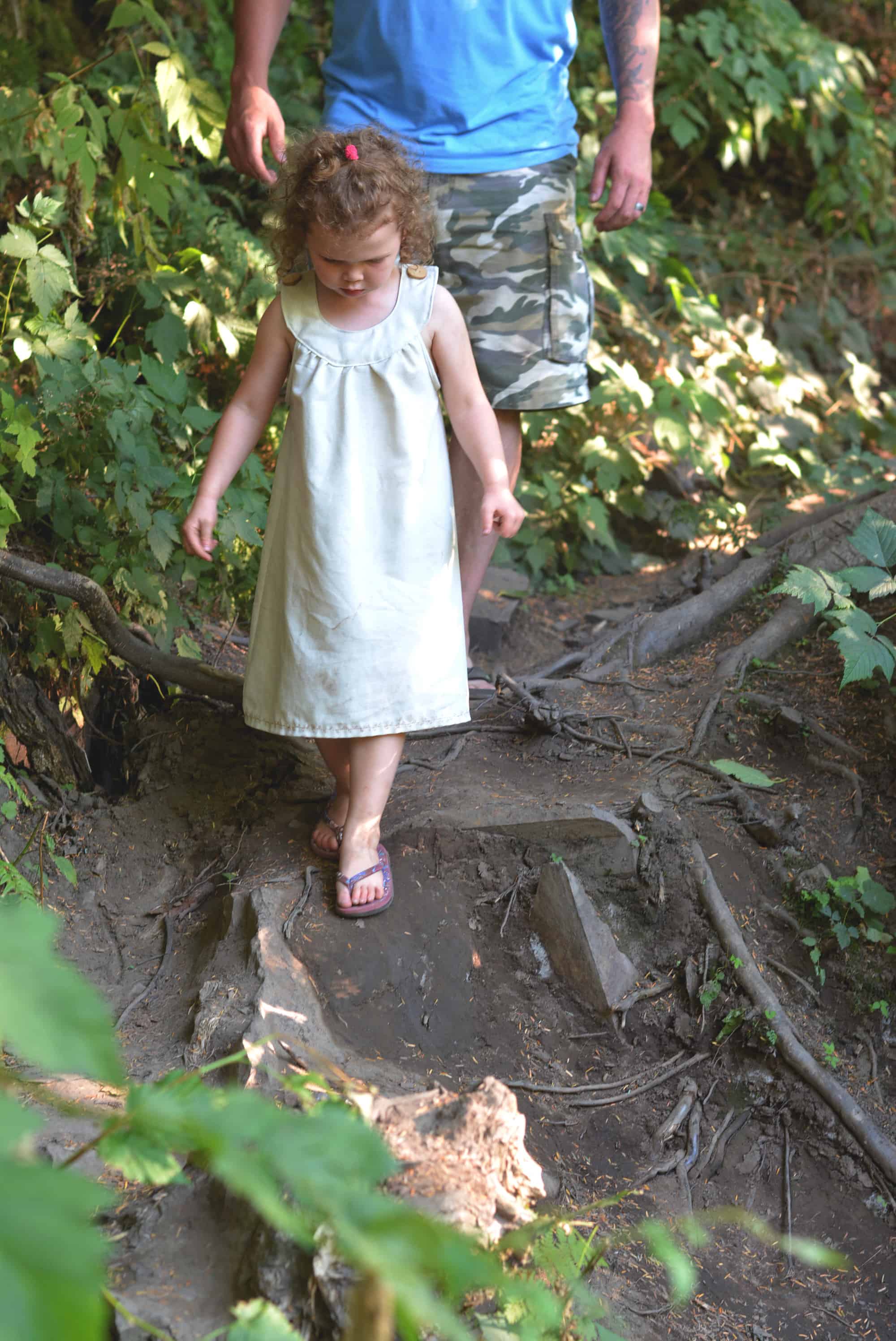
This stop was really cool! Mostly because it was the first time seeing the lava rock for us. We followed the 600m path to a look out. There were some loose rock along the path, but it was easily doable for our almost 4 year old. It is really important to stay on the designated paths to preserve the vegetation and because there could be voids under the rocks and you could fall through.
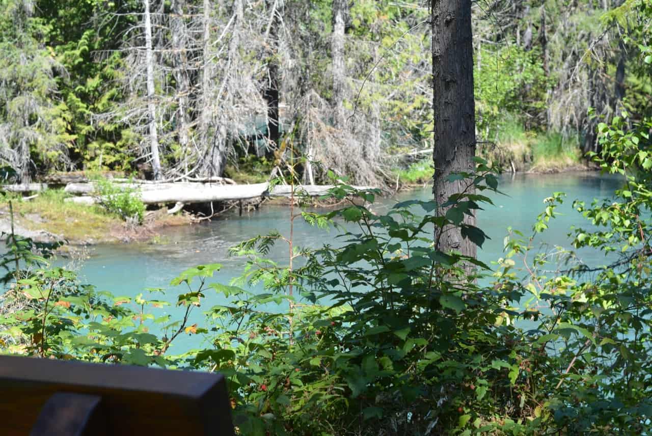
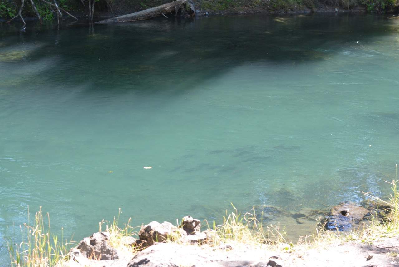
4. Drowned Forest
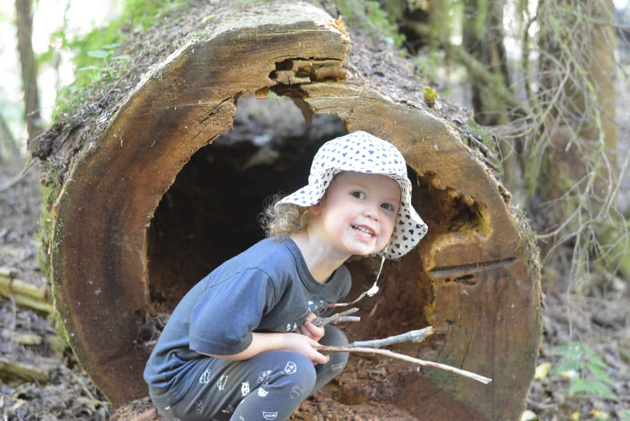
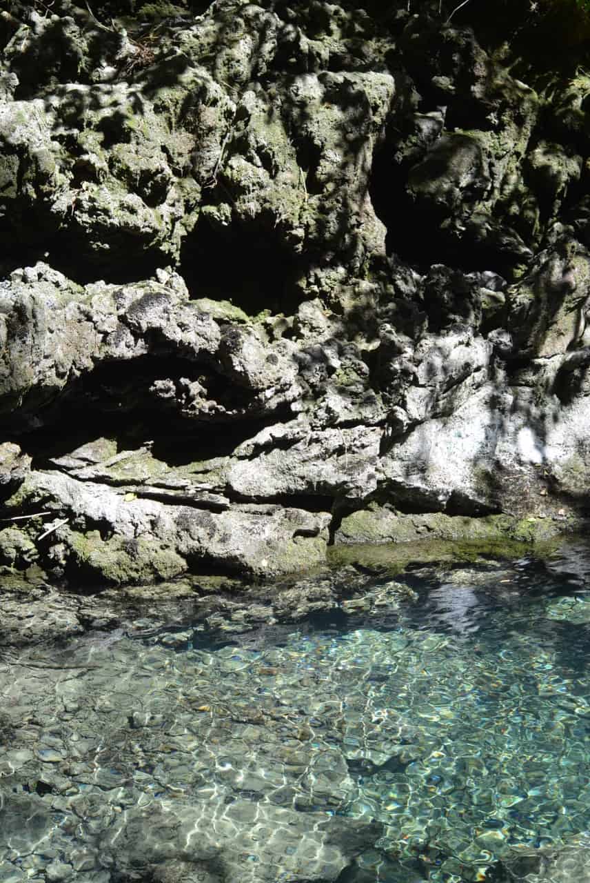
This was my husband’s favourite spot, he absolutely loved the blue green water. My photos really don’t do this spot justice. This trail was only 30m off the highway. One thing I really loved about all of the stops is the paths were quite short making it doable for a lot of people, especially little kids! It is a lot of in and out of the vehicle, but I actually didn’t mind this because it was very hot when we went so the air conditioning break in the truck was nice!
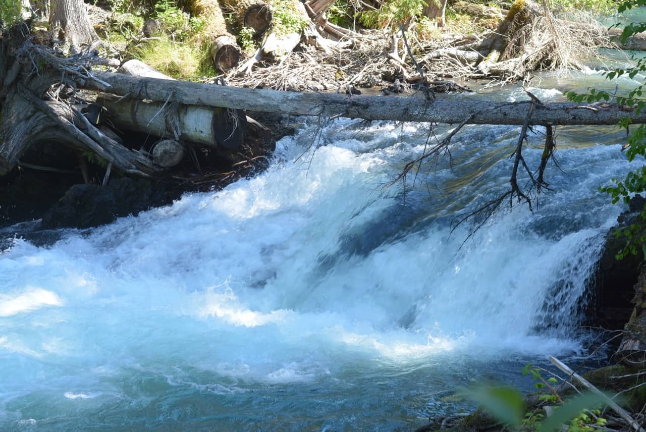
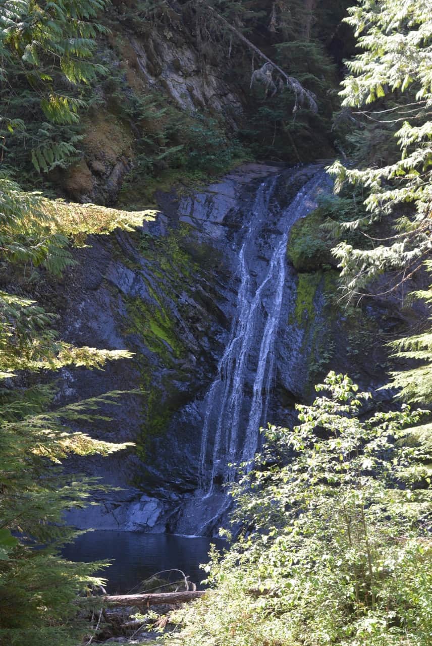
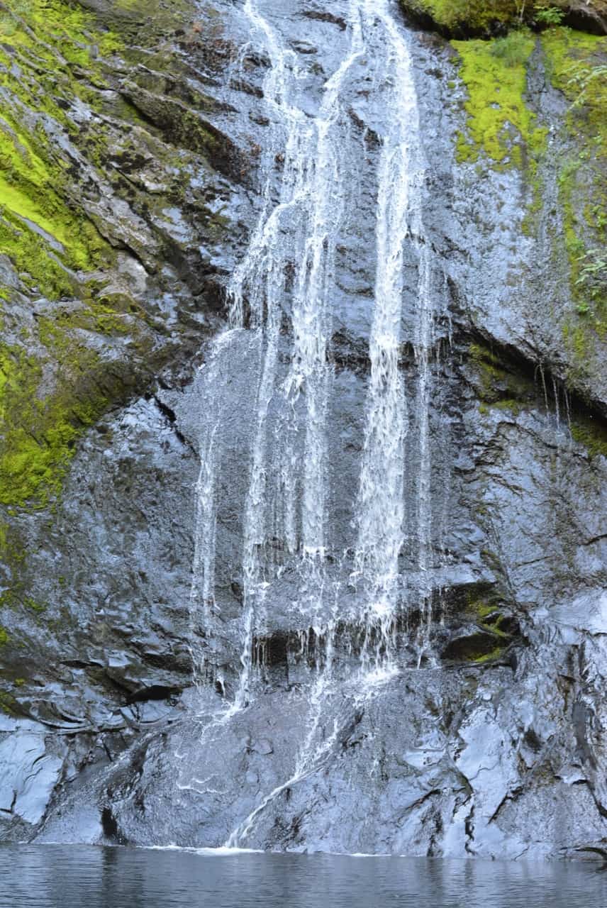
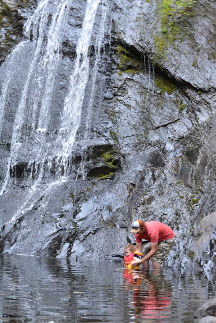
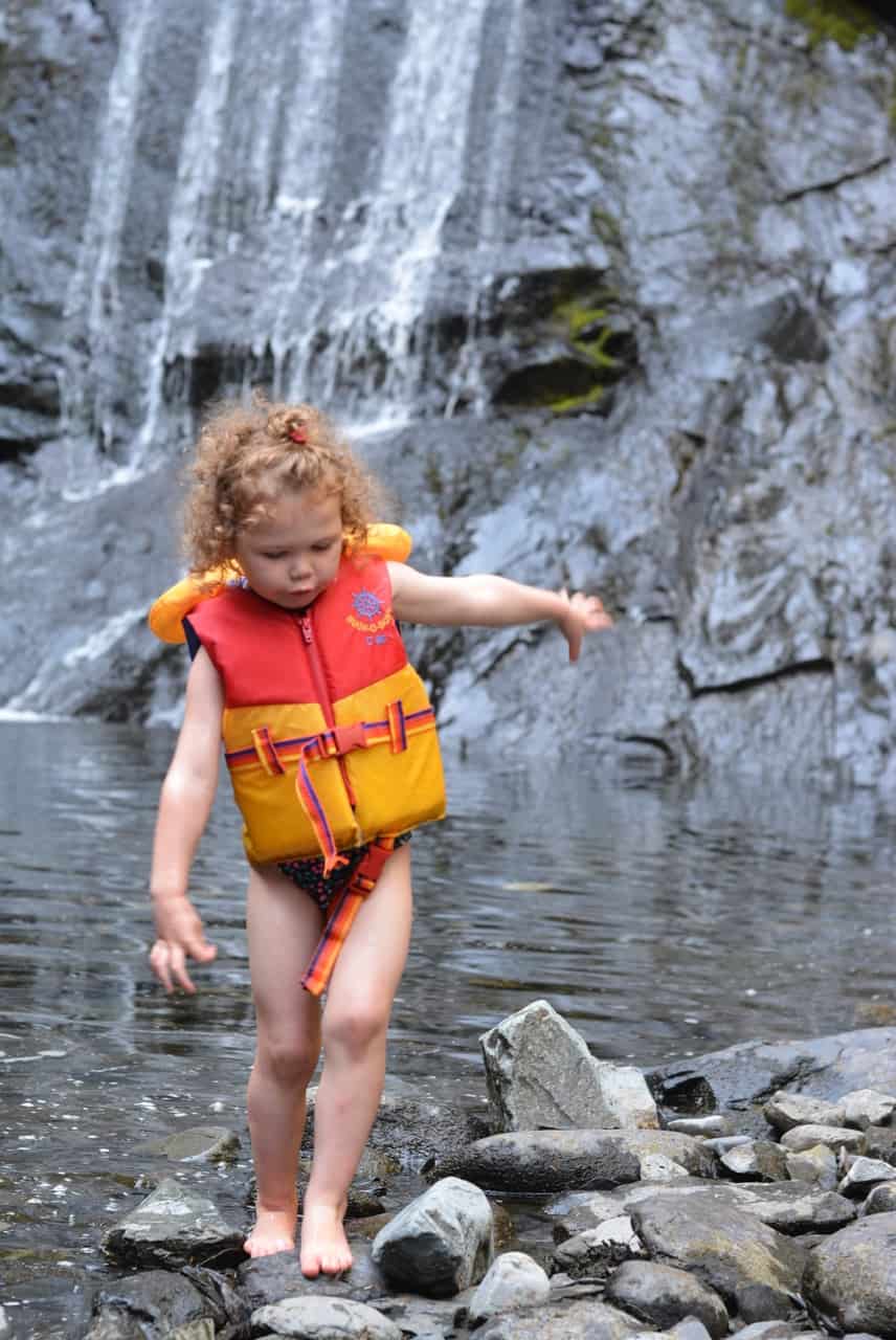
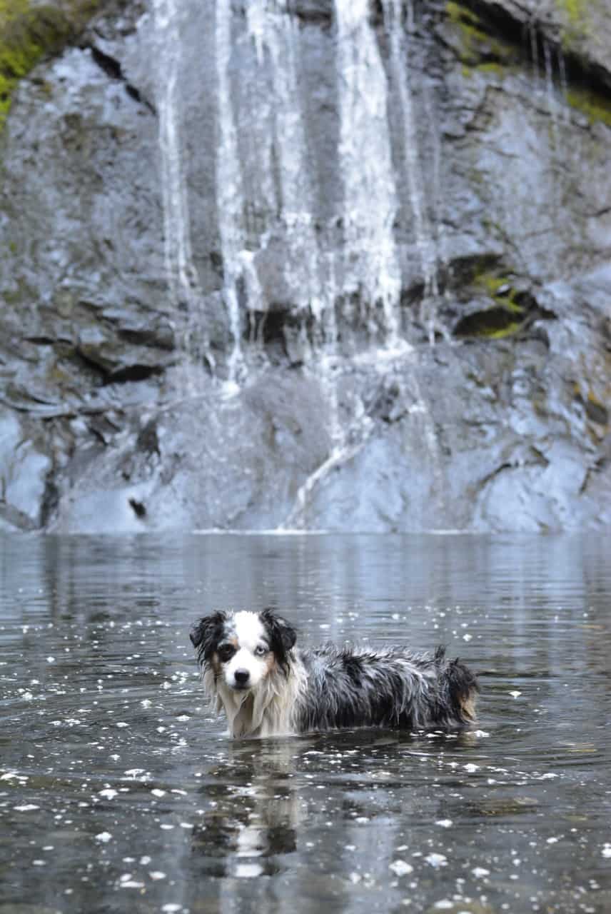
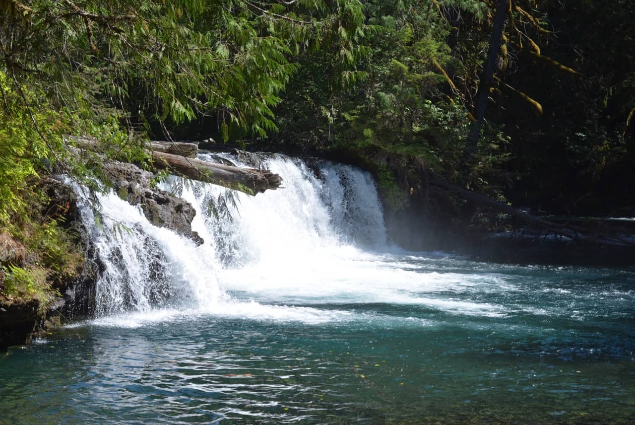
5. Beaupre Falls
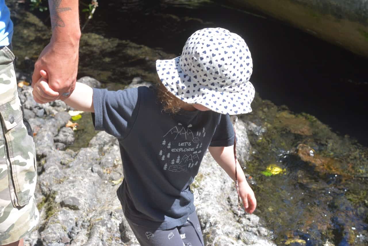
This one was my favourite spot. The 100m path goes to a small look out platform for viewing the falls, but you can also take an unmaintained trail along the creek and right up to the water falls. We also stopped here on the way home for a quick dip in the pool below the falls! It was refreshing, but cold! If you’ve got a blanket this would be a perfect picnic spot.
6. Vetter Falls
Another short easy trail, only 300m to the falls. I loved the changes along the path from lava rock to a lush coastal forest. The water was so clear here, just gorgeous!
7. Vetter Falls Lodge
We didn’t stop here, but the map says there is food and lodging!
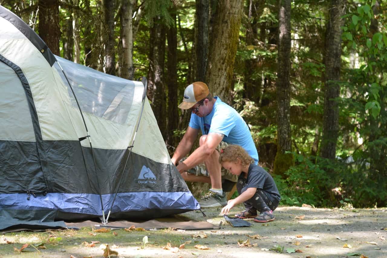
8. Visitor Centre + Camping
This visitor centre is worth a stop if you have time. We ended up getting a new Auto Tour Map here that was a more recent version then the one we got in Smithers (make sure your map has at least 19 stops on it). The info centre is built in the style of a traditional Nisga’a Longhouse and the staff was super friendly and helpful.
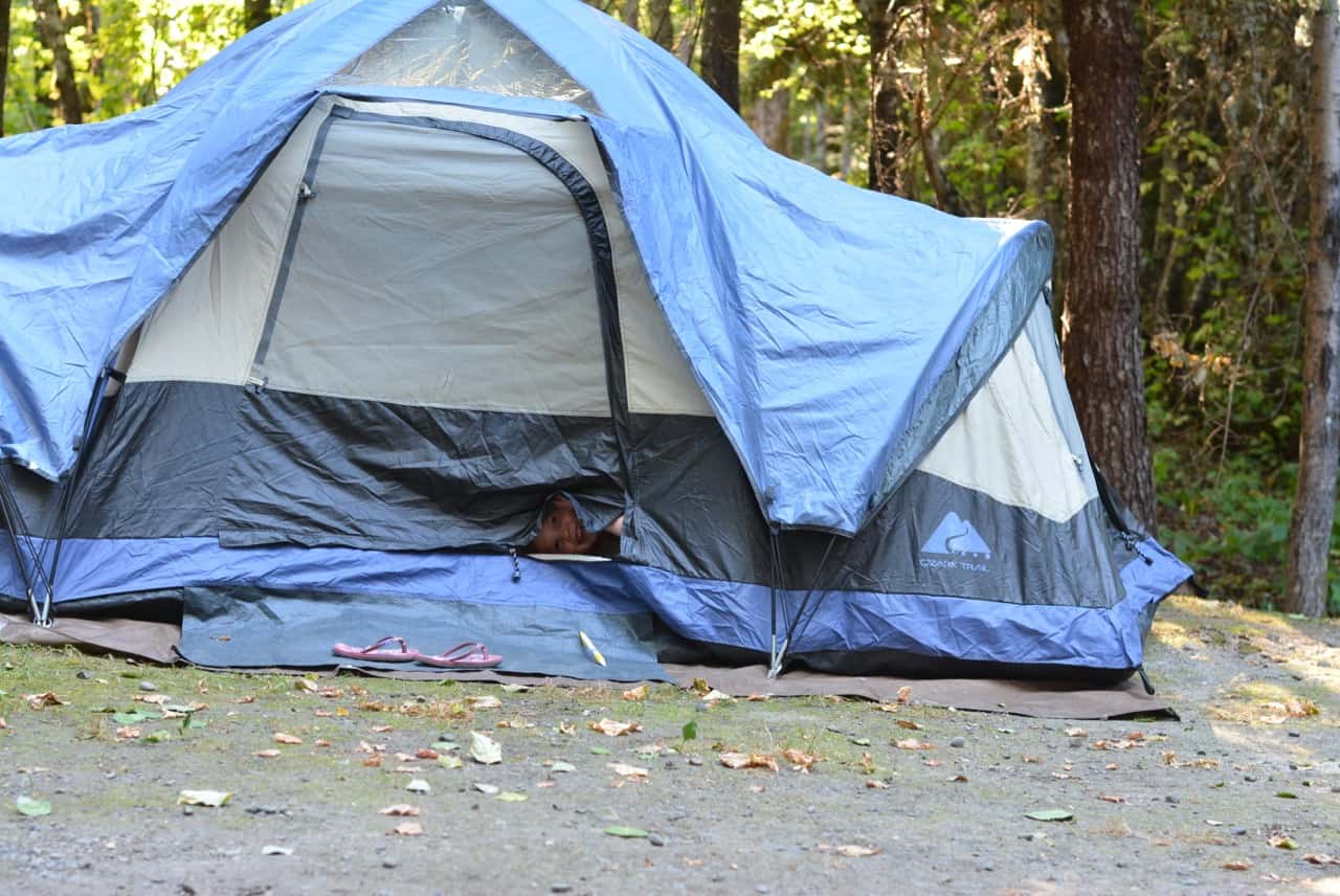
We also set up our tent at the campground. There are outhouses, non-potable water, fire pit, picnic table, but no firewood and the fee was $20 per night via the drop box. When we arrived early afternoon there was only one other camper set up. We set up our tent, had a little quiet time then continued on the route and when we came back around supper time the campground was almost full. Keep in mind that there are no reservations here, it is a first come first served basis.
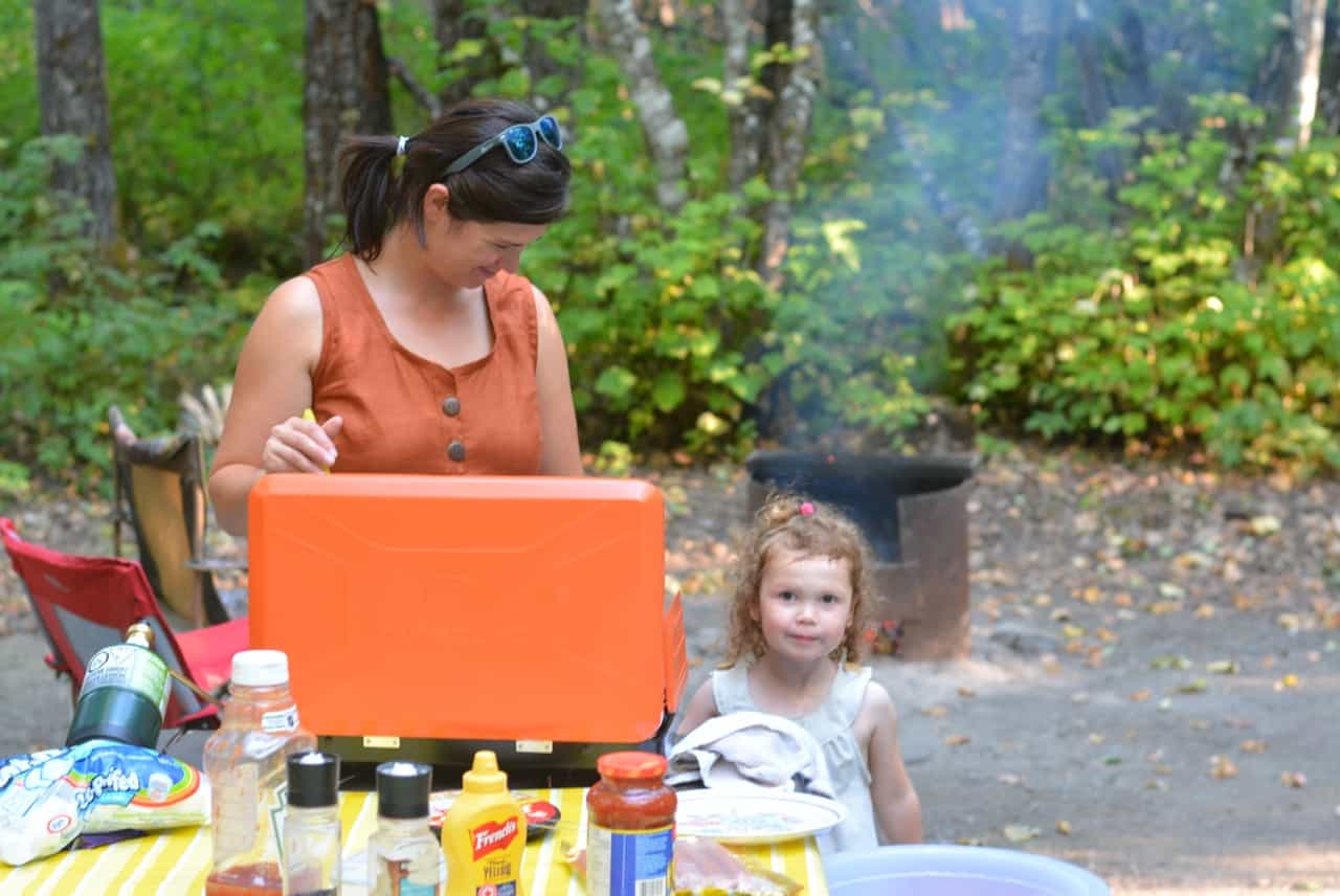
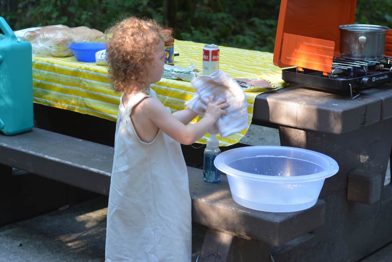
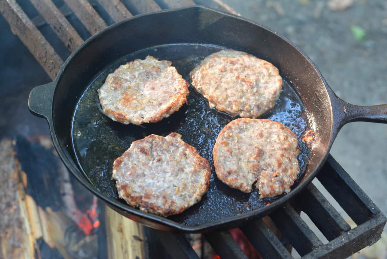
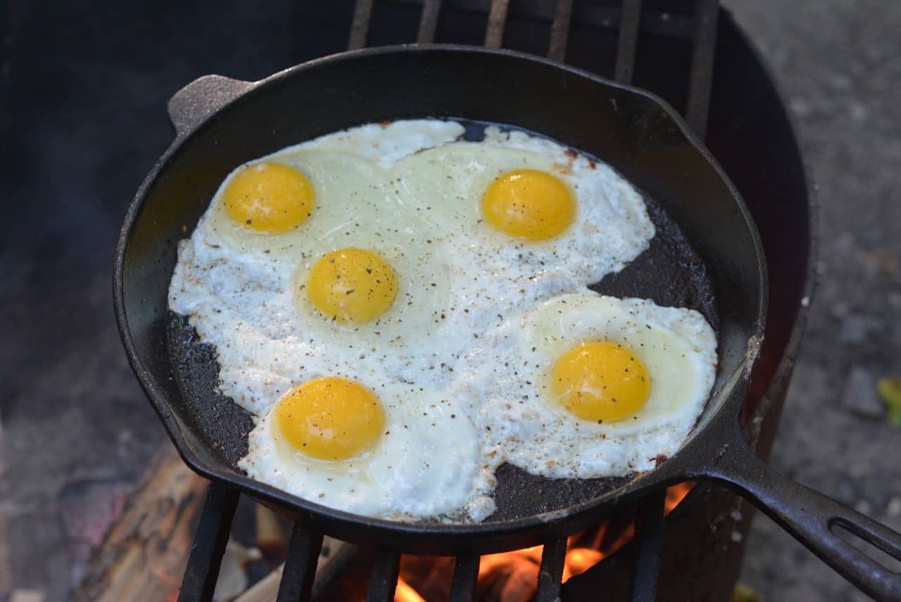
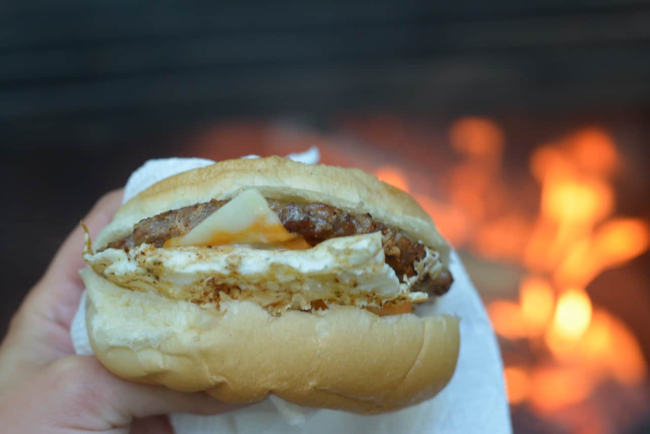
Nothing beats cooking over the fire, especially when you have fresh meat and eggs from the Farmer’s Market and buns from the bakery!
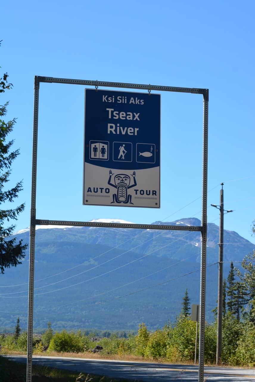
9. Tseax River
We were told this was a good place for fishing and when we stopped the first day we saw a school of sockeye! The next day when we went back to fish we didn’t see any salmon, but there were some smaller fish swimming around. Nothing caught though.
10. Nisga’a Village / Gitlaxt’aamiks
We didn’t make this stop as we decided to stop at the next village (#12).
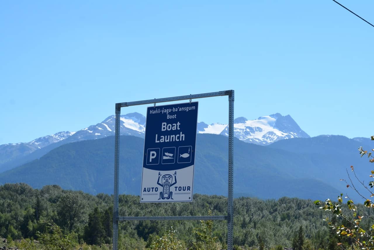
11. Boat Launch
If you aren’t into fishing then I would skip this stop. We stopped here the first day to see what it was like and noticed several salmon heads at the bottom of the boat launch (even though there is a big sign that states to throw fish entailments into the deep river). The next day we walked down there to fish, the salmon heads were all gone and there was a very large pile of bear scat close by. We were a little on edge about this so didn’t stay very long to fish. The dog was also barking so we figured the bear was close by.
12. Tree Cast
I feel like we missed something at this stop. It was about a 5 minute walk to a tree cast (you’ll have to go and read the sign to find out what this is about), however it just looked like more lava rock to me… The trail was good at first, but there were some large gaps, which make it a bit more challenging for kids and I think we wandered off the trail a few times as it wasn’t as obvious as the others. If you were to skip a stop, I would likely skip this one or just walk in a few minutes if you’d like to take some cool photos!
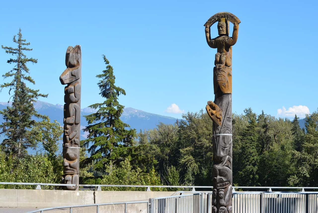
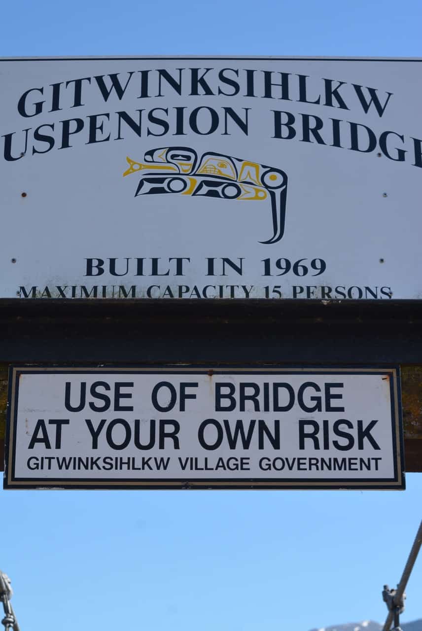
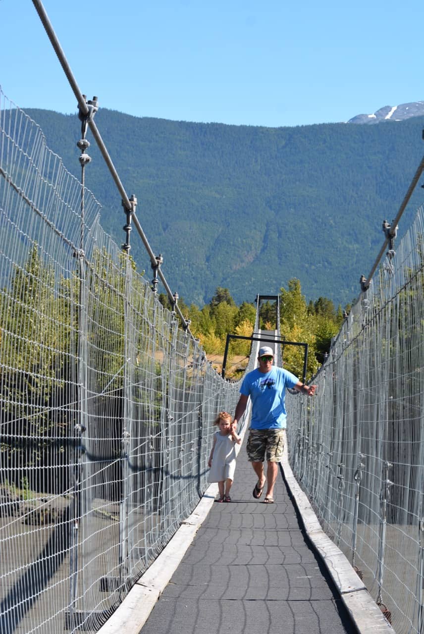
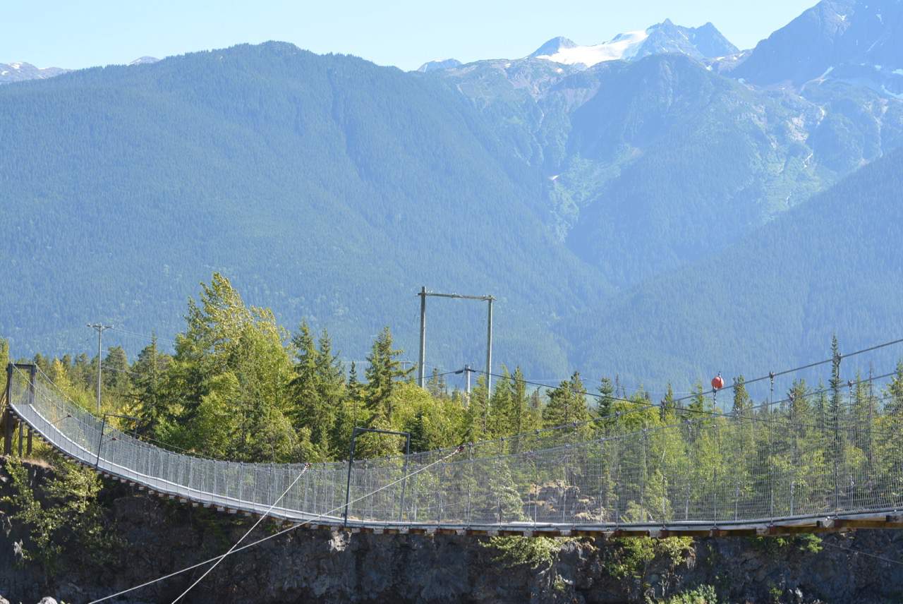
13. Nisga’a Village / Gitwinksihlkw
We almost didn’t drive into the village, but we had heard about the suspension bridge, so we made the short detour and I’m glad we did! Well, I wasn’t happy to be on the bridge at the time, but it was really neat to see. The truth is, I couldn’t cross the bridge, it was way too sketchy for me! When my husband and daughter got over half way across I yelled at them to come back! I couldn’t watch! Drive through the town to get to the suspension bridge.
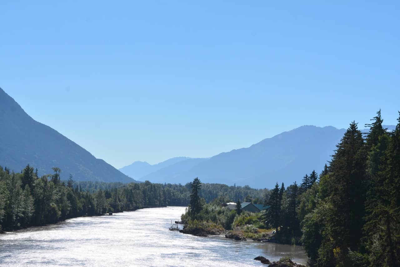
In the first photo, look down the river and you can see the suspension bridge in the far distance.
14. Dedication Site
We didn’t stop at this site as our daughter was napping. If you are looking for a longer drive to allow for a nap and you have the time, I would suggest heading towards Ginglox (#19). Although we didn’t make it all the way, it is a beautiful drive and you can hit the stops you missed on the way back. On the way back it was getting late, so we skipped this stop.
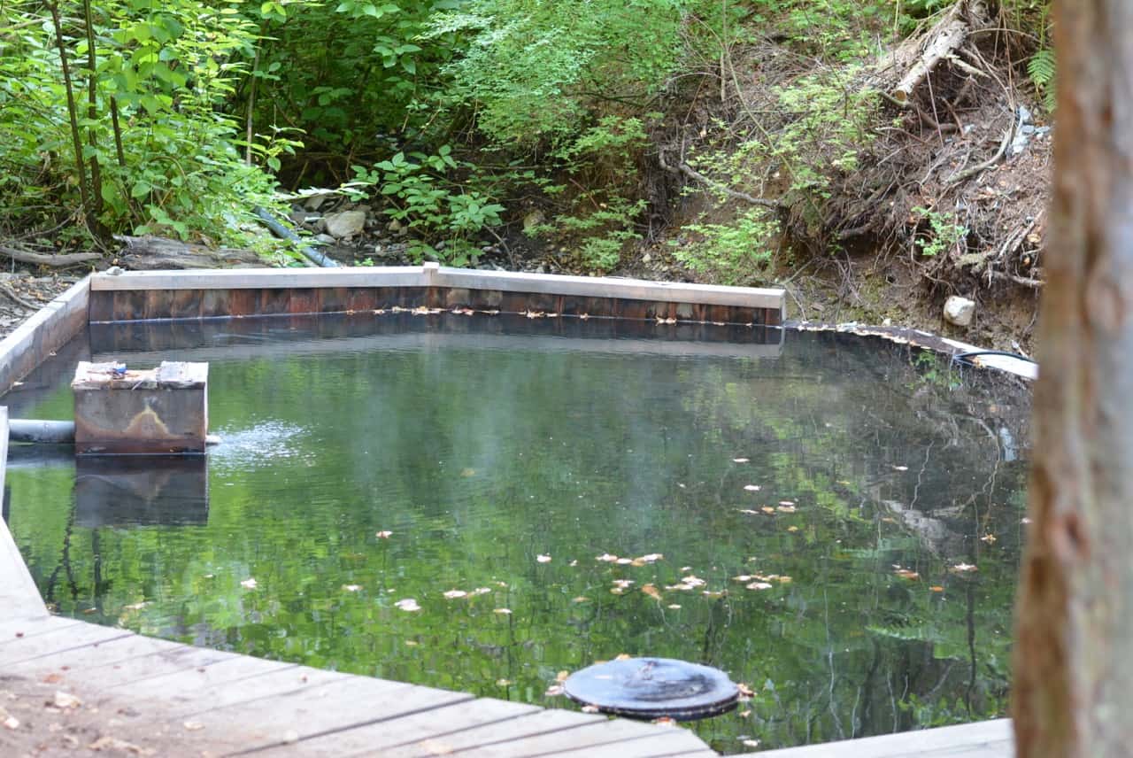
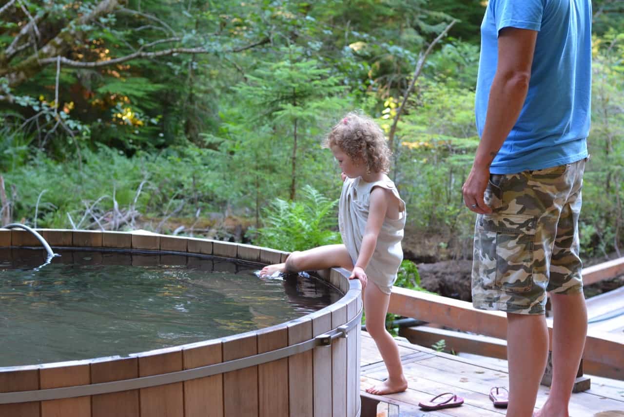
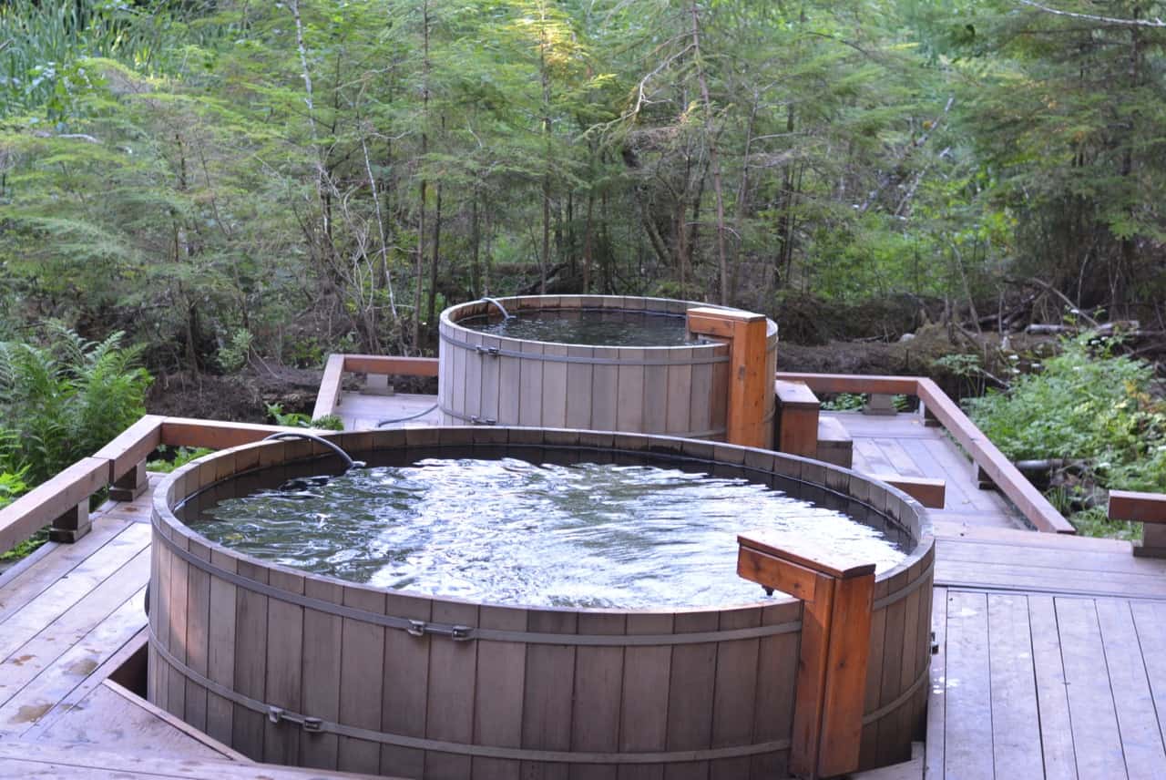
15. Hot Springs
This is a must see! It was over 30 degrees C outside so hot springs were the last thing on our mind, but they were still really cool to see! It’s one of the longer walks in, a little rooty, but still easy enough for our daughter. As much as we wanted to go in (we packed our bathing suits), it was just too hot! There were three pools and we did notice a sign saying that new pools were going to be constructed soon.
16. Nisga’a Village / Laxgalts’ap & 17. Nisga’a Museum
This village and Museum are on the way towards Gingolx. We drove through the village and passed the museum, but didn’t stop (sleeping kid).
18. Fishery Bay
I think we saw the sign for this one, pulled over, but didn’t see anything. So if you go and find what this spot is all about please let me know!!
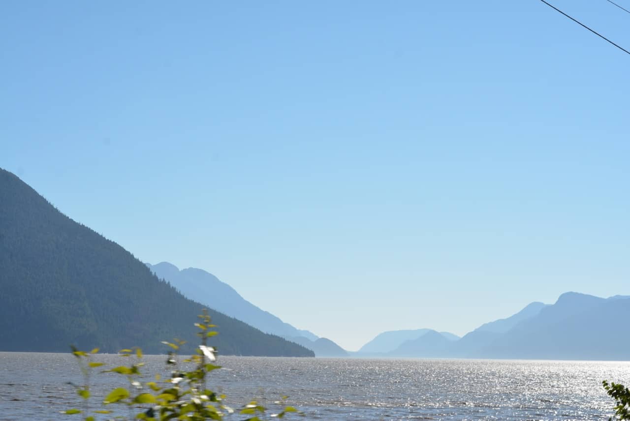
19. Ginglox
Although we were really close, we didn’t make it all the way. We were far enough to see the ocean/inlet and it was just gorgeous! Next time I would like to make it the full distance, I’ve heard its beautiful there!
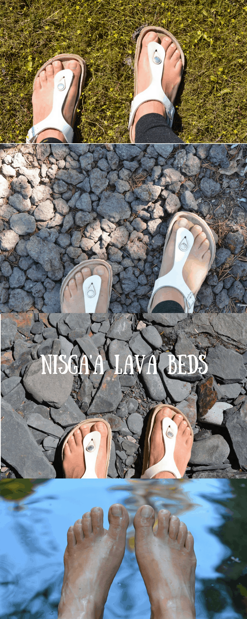
I took these photos of my feet to show all the different ecosystems we visited! It really was so cool to go from lava rock to river rock to petite wildflowers in just minutes!
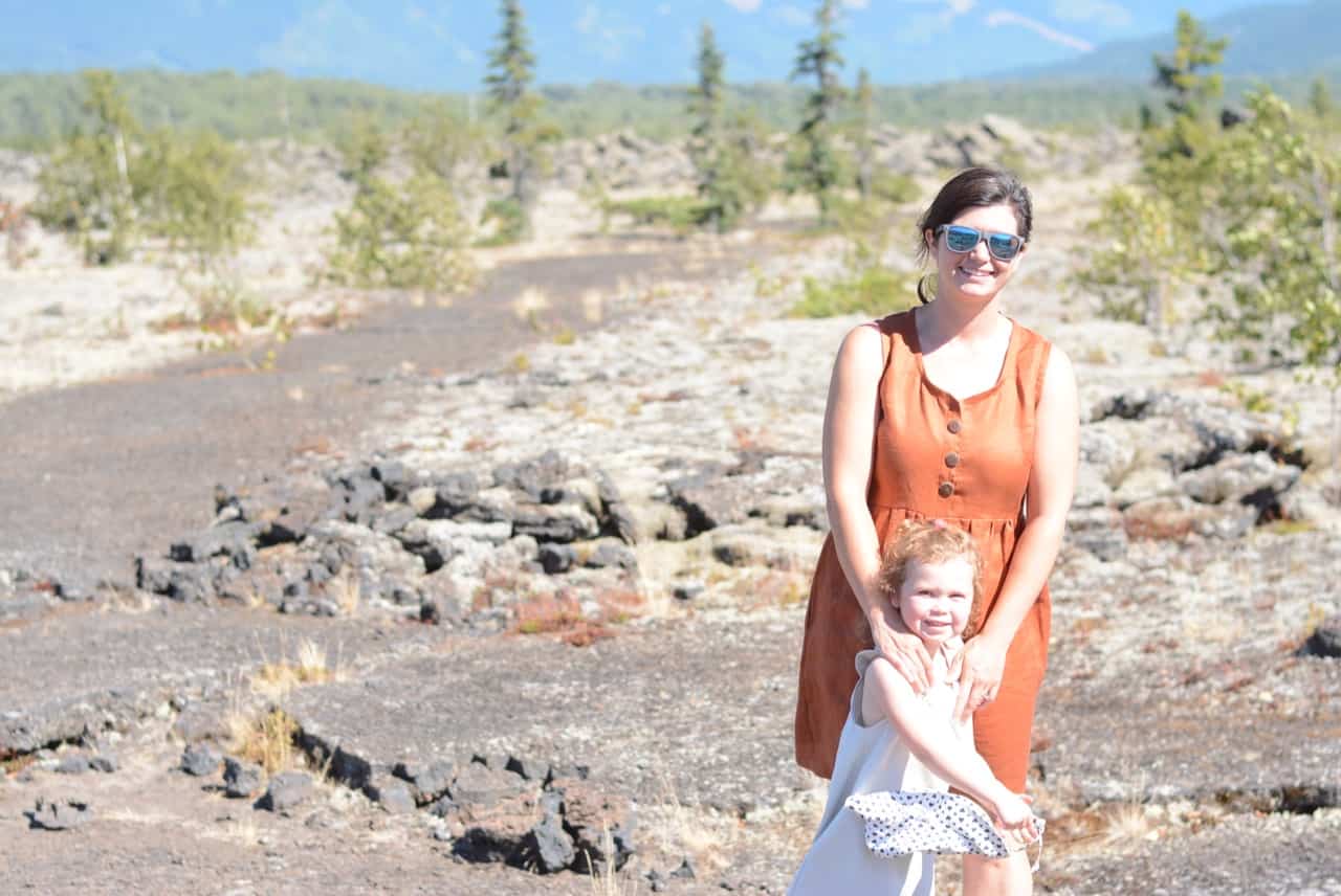
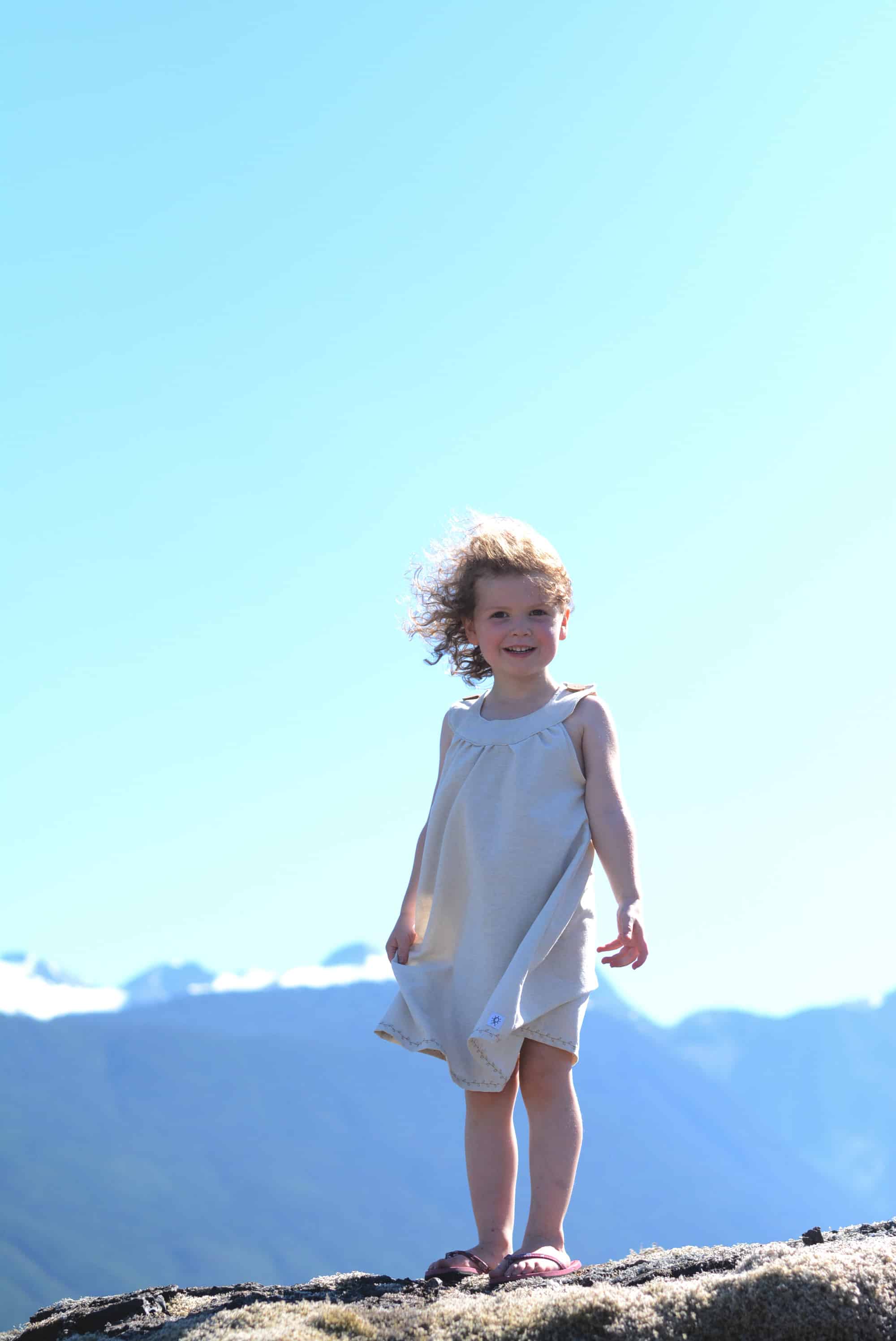
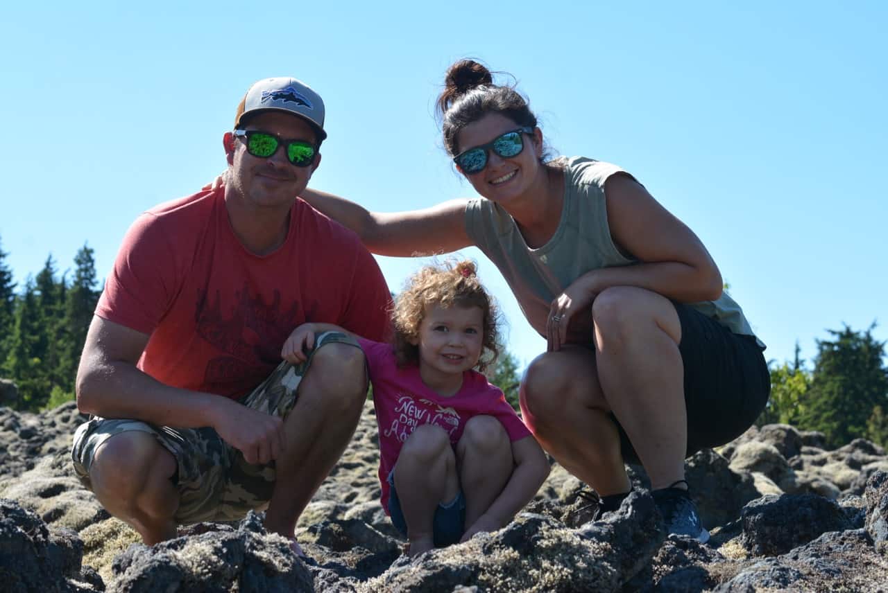
We had an amazing trip and I highly recommend it!
If you’ve been here before I would love to hear about your experience!
All you have to do is hover over the top left of any photo and click on the Pinterest icon, super easy!
This post is NOT sponsored. Want to collaborate? Email Jackie at [email protected].


